By
Allie Yee
November 18, 2016 -
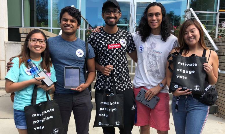
In the political battleground state of North Carolina, a new group of voters is emerging: Asian Americans.
Asian Americans have become the fastest-growing racial demographic in the country and in North Carolina. Between 2000 and 2010, the Asian American population in the state grew 85 percent — the fastest rate in the South and the third-fastest in the nation.